GPS-denied navigation from the radios drones already carry.
Skylaris turns the swarm’s existing radio links into a shared sensing and navigation layer, so every node can help position itself and its neighbors without GPS or a central coordinator.
Today’s swarms lose their way when GPS or links fail.
GPS-denied navigation is a routine operating condition in contested, indoor and subterranean environments.
GPS Denial
Jamming, spoofing and indoor environments can remove the positioning signal a fleet relies on.
Link Breaks
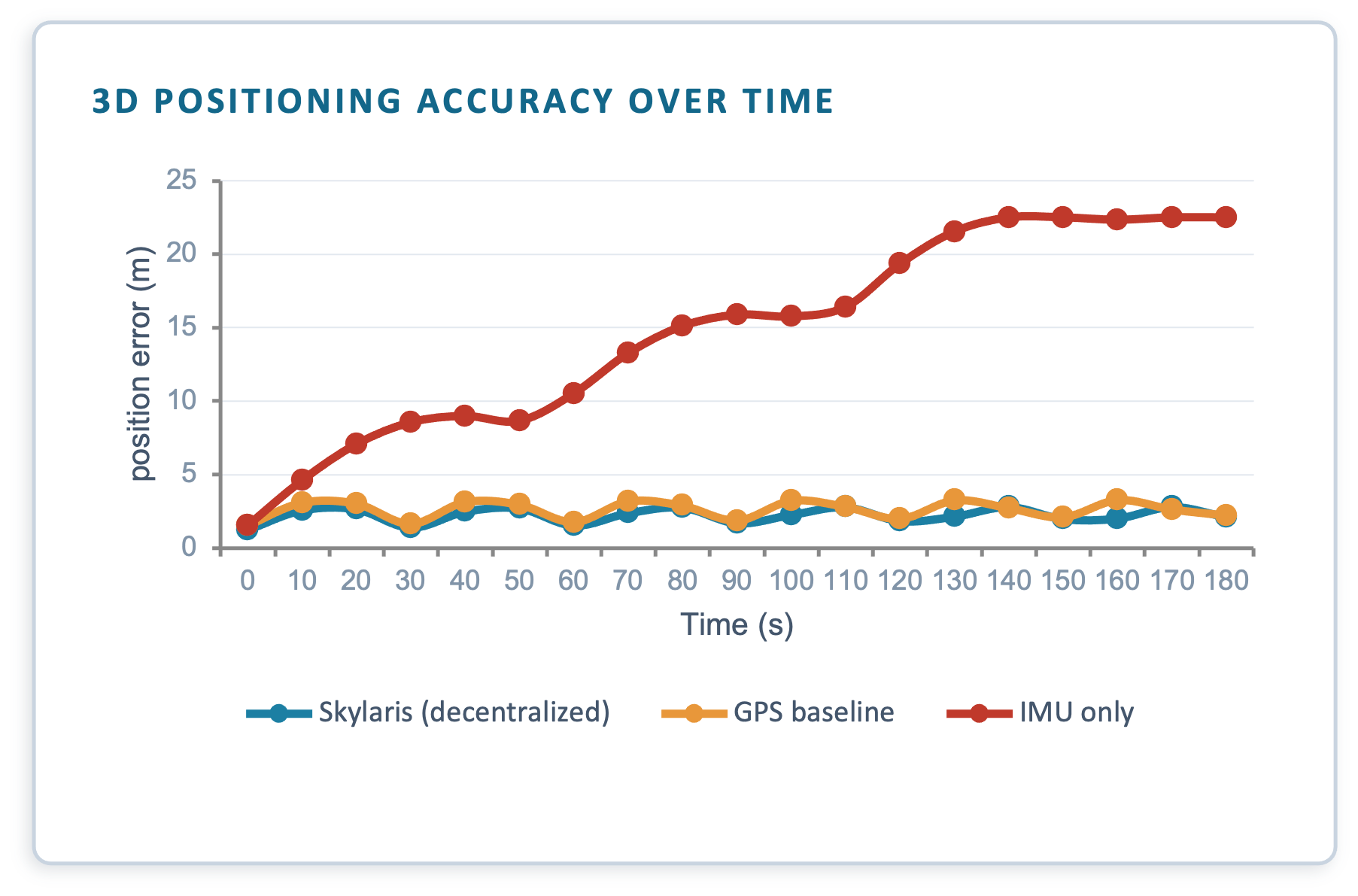
As a swarm moves farther from an operator, ground-control links weaken and position drift grows.
Single-Point Control
A central coordinator is a bottleneck. Lose the leader or operator link and the mission can fail.
Extra Hardware
Cameras, LiDAR, anchors and beacons add cost, weight, power draw and deployment friction to every vehicle.
One radio layer for cooperative navigation.
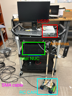
Skylaris uses the radios already onboard each vehicle to sense, range and coordinate the swarm—without GPS, a central node or added sensing hardware.

Integrated Sensing & Comms
01A joint sensing-and-communications waveform uses the same radio packet for data and ranging.
Cooperative Tracking
02Passive measurements use neighbor broadcasts.
Decentralized Navigation
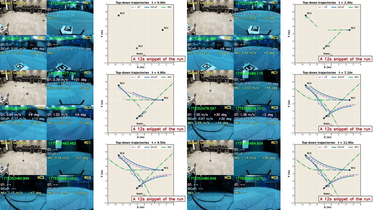
03Each node compute range and velocity from neighbors' signals to estimate real-time 3D position and motion.
Low Compute Overhead
04Lightweight tracking is designed for commercial SoCs with sub-millisecond computation overhead.